BATTLEFIELD ASSESSMENT

Hoover’s Gap

June 24, 1863

Bedford

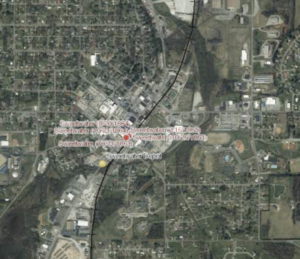
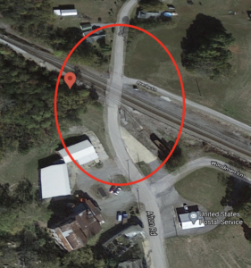
On June 23, 1863 in what would be the beginning of the Tullahoma campaign, Maj. Gen. Williams Rosecrans (Army of the Cumberland) feigned an attack on Shelbyville and advanced troops under Maj. Gen. George Thomas through gaps in the ridges south of Murfreesboro.  On June 24 Col. John Wilder’s “Lightening Brigade” forced the 3rd Kentucky cavalry from Hoover’s Gap at Beech Grove.  Thomas’ troops subsequently encountered the brigades of Brig. Gen. Bushrod Johnson and Brig. Gen. William Bates (Army of Tennessee).  Fighting continued through the 26th until the Confederates withdrew toward Tullahoma. 

HISTORICAL THEMES

This engagement is one of 38 sites evaluated by the Civil War Sites Advisory Commission and not subject to a TCWPA Battlefield Assessment

PRESERVATION OPPORTUNITY INDEX

N/A

A rating assigned for each battlefield to indicate relative opportunity and potential for successful site preservation.

Help Preserve this Battlefield

Your support helps protect and share Tennessee’s historic battlefields for generations to come.

SITE DETAILS

County

Bedford

Date

June 24, 1863

Preservation Opportunity

N/A

Confederate Units

Army of TennesseeStewart’s Division, Hardee’s Corps

Union Units

Army of the Cumberland-XIV Corps

Help Preserve Tennessee's Civil War Heritage

Your support helps TCWPA preserve, interpret, and share the places where history happened for generations to come.

Other Ways to Support the mission

Terms Legend

Historical Themes:  Topics and subject matter that characterize the battlefield including Control of Tennessee’s Resources, Crucible for Leadership, Guerilla Warfare, Transformation in Warfare, Enslaved People, and Influence on Campaign.  Sites are identified that exhibit themes at moderate to high levels, and some sites may contain one or more Historical Themes.
 
Preservation Opportunity Index (POI):  A rating assigned for each battlefield to indicate relative opportunity and potential for successful site preservation.  The Index is generated by a model that evaluates ratings assigned for site significance, condition, risk of loss, protection potential, and opportunities for interpretation.  Based upon the POI values for each region in Tennessee (West, Middle, East), sites are indicated as having High, Medium, or Low opportunity.
 
Geo-coordinates: General/central location of the battlefield area per latitude and longitude coordinates utilized in Google Earth