January 17, 1864
Jefferson
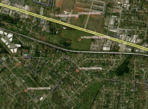
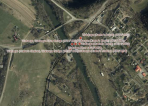
Federal troops, commanded by Maj. Gen. John Parke, moved toward Dandridge on January 14. Confederate Lieut. Gen. James Longstreet ordered two divisions of infantry to head toward Dandridge and his remaining two divisions to march along the railroad toward Mossy Creek in case the Federal movement towards Dandridge was a feint. Longstreet ordered his cavalry, commanded by William Martin, to also head for Dandridge. Federal cavalry, commanded by Brig. Gen. Samuel Sturgis (Army of the Ohio), reached Dandridge on January 15 before Martin’s cavalry arrived. Sturgis planned to ambush Martin the next day and destroy his force with a double envelopment, but this planned failed. In the morning, Longstreet delayed his attack until noon because he did not have an accurate information about Federal strength. When the Confederates finally attacked, the Union divisions put up a strong defense but were ultimately forced to retreat. The Federal army retreated in good order; Longstreet’s troops, many without shoes, could not effectively pursue in the frigid winter weather. Confederate casualties totaled about 150 men, Union losses about 100.
A rating assigned for each battlefield to indicate relative opportunity and potential for successful site preservation.
Your support helps protect and share Tennessee’s historic battlefields for generations to come.
County
Date
Preservation Opportunity
Confederate Units
Union Units
Your support helps TCWPA preserve, interpret, and share the places where history happened for generations to come.