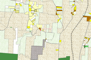
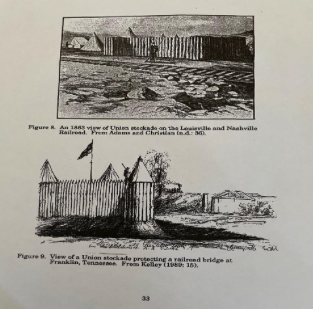
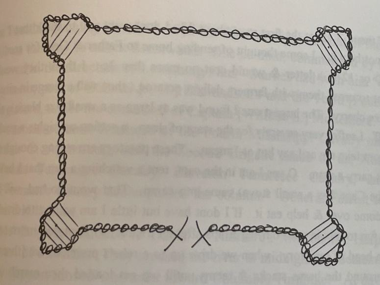
Drawing of Stockade by Charley Prentiss (19th Michigan Infantry)
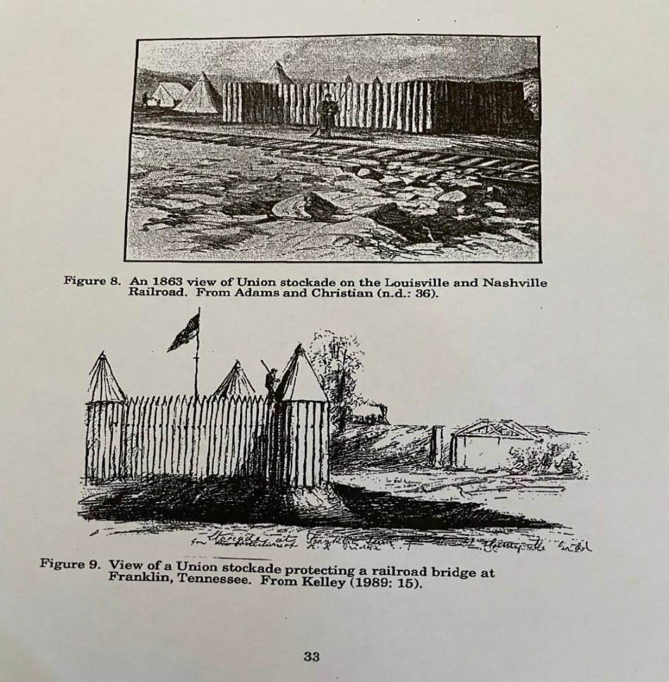
Images of stockade at L&N Railroad, Franklin, Tennessee
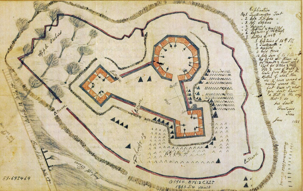
Drawing by Anson Smith (104th Illinois Infantry) showing triangular fort that replaced the square stockade
After capturing the garrison at Brentwood (see assessment for Brentwood Phase 1), General Forrest took a portion of his troops two miles south and surrounded the stockade that guarded the railroad bridge over the Little Harpeth River. The stockade on the day of the battle was rectangular with four towers. Charley Prentiss of the 19th Michigan sent this sketch of the stockade in a letter to his wife dated two days prior to the battle.
In the letter Prentiss told his wife that the stockade was about 100 square feet, but since General Granger indicated that the stockade could hold over 200 men it must have been larger than that. Other contemporary sketches of this type of stockade can be found in A Survey of Civil War Period Military Sites in Middle Tennessee prepared by the Tennessee Department of Conservation Division of Archaeology in Report of Investigations No. 7 dated 1990:
According to a diagram prepared by Lt. Col. Bloodgood for his court-martial for his actions at Thompson’s Station and Brentwood, the stockade was located south of the Little Harpeth and east of the railroad.
The stockade was garrisoned by 230 men of the 19th Michigan commanded by Captain Elisha Bassett. Bassett had been with the regiment at the Battle of Thompson’s Station but after hiding behind a tree 15 or 20 yards in the rear he fled the battlefield prompting his commander to say “I have never seen a man exhibit so much cowardice and fear.” Bassett was in no mood for a fight at the Little Harpeth either, and after one warning shot from the Confederate artillery he promptly surrendered.
After the battle the Confederates attempted to destroy the railroad bridge but the damage was repaired quickly and the Nashville train went through to Franklin either late that night or the next day. The stockade was replaced after the battle by a triangular fort that incorporated artillery and was located north of the river and east of the tracks. Two contemporary sketches of that stockade are available. This one was prepared by Anson Smith of the 104th Illinois.