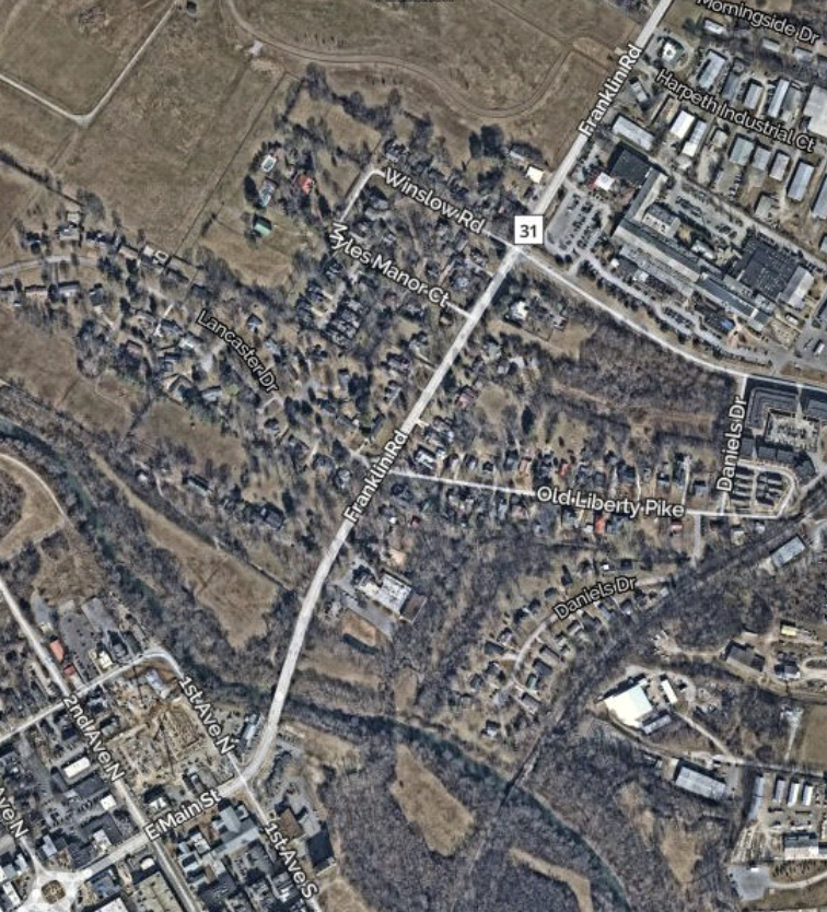
On December 26, 1862 Colonel Lewis Zahm’s Union cavalry brigade attacked a small Confederate cavalry force led by Colonel Baxter Smith. Zahm’s goal was to clear out Franklin and protect the right flank of the Union army’s march from Nashville to Murfreesboro. Zahm made initial contact with Confederate pickets at 3 p.m. around two miles from Franklin forcing Smith’s men back to town. The major fighting appears to have occurred about ½ miles north of town at the Harpeth River crossing and in town. Zahm captured the town and pursued Smith’s men for about two miles. Union forces left Franklin that night, and it was reoccupied by Confederates by the next day.
PRESERVATION OPPORTUNITY INDEX
LOW
A rating assigned for each battlefield to indicate relative opportunity and potential for successful site preservation.
Historical Themes: Topics and subject matter that characterize the battlefield including Control of Tennessee’s Resources, Crucible for Leadership, Guerilla Warfare, Transformation in Warfare, Enslaved People, and Influence on Campaign. Sites are identified that exhibit themes at moderate to high levels, and some sites may contain one or more Historical Themes.
Preservation Opportunity Index (POI): A rating assigned for each battlefield to indicate relative opportunity and potential for successful site preservation. The Index is generated by a model that evaluates ratings assigned for site significance, condition, risk of loss, protection potential, and opportunities for interpretation. Based upon the POI values for each region in Tennessee (West, Middle, East), sites are indicated as having High, Medium, or Low opportunity.
Geo-coordinates: General/central location of the battlefield area per latitude and longitude coordinates utilized in Google Earth