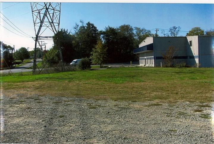
Site looking north
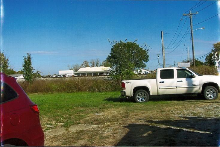
Site looking south
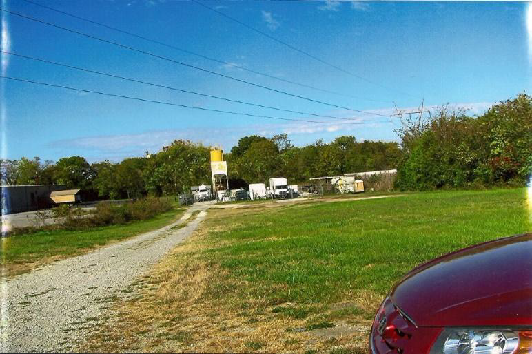
Site looking east
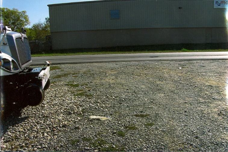
Site looking west
GEN. NEGLEY’S OFFICIAL REPORT.
HEADQUARTERS UNITED STATES FORCES,
NASHVILLE, Tenn., Oct. 9, 1862.
SIR: Maj.-Gen. J.R. ANDERSON, Brig.-Gen. FORREST, and Gov. HARRIS have been rapidly concentrating a large rebel force at Lavergne, fifteen miles east, with the avowed intention of assaulting Nashville. Deeming it a favorable opportunity to check this project by a sudden blow, a concerted movement was made on the night of the 6th inst.
A force of four hundred infantry, four hundred cavalry, and four pieces of artillery, under command of Gen. PALMER, was sent via the Murfreesboro road, at the same time eighteen hundred infantry, under Col. MILLER, marched by a circuitous route to the south of Lavergne.
The enemy’s pickets and vedettes were in considerable force on the roads, and skirmished with our advance for ten miles, enabling the main force, consisting of one regiment, the Thirty-second Alabama Infantry, one steel-rifled cannon, and three thousand cavalry, to assume a position, forming their lines in anticipation of our entire force advancing on the Murfreesboro road, which was part of our object.
The enemy commenced the action by opening fire with three pieces of artillery at the distance of three hundred yards. This was soon silenced by a shell from one of our guns exploding their ammunition chest.
At the moment the enemy were directing their movements against the right flank of Gen. PALMER’s force, Col. MILLER’s infantry arrived, advancing in a splendid line of battle, and delivering a well-directed fire into the enemy’s ranks, which was followed by a skillful deployment right and left, to cut off their retreat.
The Confederates held their ground for thirty minutes, then fled in the wildest disorder, leaving one hundred and seventy-five prisoners in our hands, among whom were two Lieutenant-Colonels and a number of line officers, three pieces of artillery, ordnance and Quartermaster stores, a large amount of provisions, camp equipage, personal effects, stand of regimental colors, and two railroad cars, which we destroyed.
Their defeat was complete. Their loss in killed and wounded was about eighty.
The conduct of our officers and men was highly meritorious, with numerous instances of individual bravery and efficiency.
A report in detail will be forwarded to you the first opportunity.
Our loss was five killed, nine wounded and four missing.