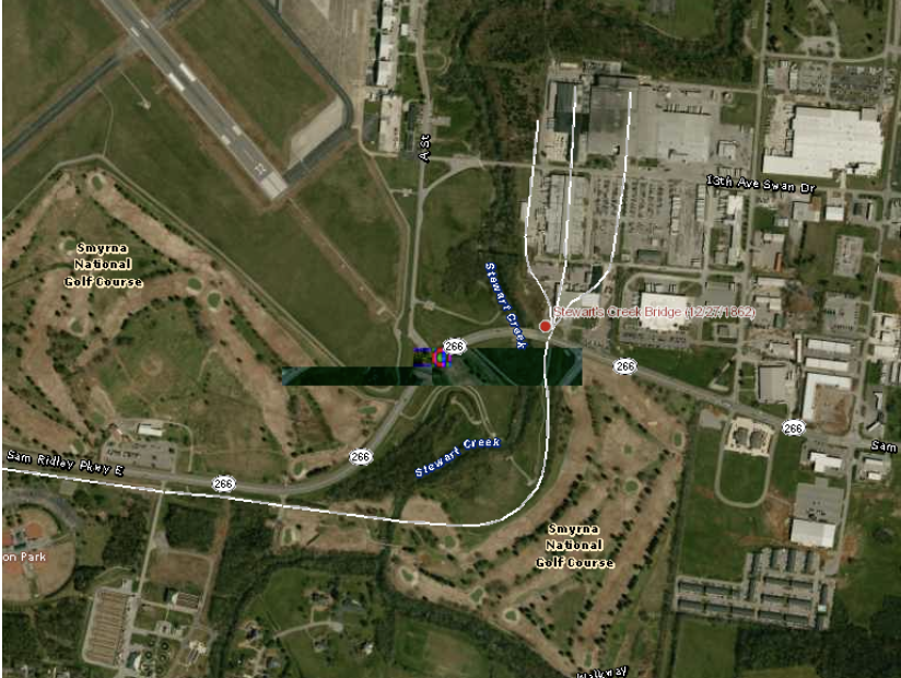
On December 27, 1862, the Fourth Michigan Cavalry joined Col. William B. Hazen’s Union brigade in a strike to seize the bridge across Stewarts Creek on the Jefferson Pike. The Michigan troopers quickly pushed the detachment of the 51 st Alabama Partisan Rangers from the bridge and then withstood several counterattacks by Gen. Joseph Wheeler’s cavalry brigade until the arrival of Hazen’s infantry and artillery sealed Union control of the crossing. The seizure of the Jefferson Pike bridge and another bridge across Stewart’s Creek on the Nashville (Murfreesboro) Pike to the south secured two key crossings of a significant barrier for he Left Wing of the Union army. Control of the bridges would allow this portion of the army to move swiftly towards Murfreesboro without the risks accompanying fording a flooded watercourse.
PRESERVATION OPPORTUNITY INDEX
LOW
A rating assigned for each battlefield to indicate relative opportunity and potential for successful site preservation.
Historical Themes: Topics and subject matter that characterize the battlefield including Control of Tennessee’s Resources, Crucible for Leadership, Guerilla Warfare, Transformation in Warfare, Enslaved People, and Influence on Campaign. Sites are identified that exhibit themes at moderate to high levels, and some sites may contain one or more Historical Themes.
Preservation Opportunity Index (POI): A rating assigned for each battlefield to indicate relative opportunity and potential for successful site preservation. The Index is generated by a model that evaluates ratings assigned for site significance, condition, risk of loss, protection potential, and opportunities for interpretation. Based upon the POI values for each region in Tennessee (West, Middle, East), sites are indicated as having High, Medium, or Low opportunity.
Geo-coordinates: General/central location of the battlefield area per latitude and longitude coordinates utilized in Google Earth