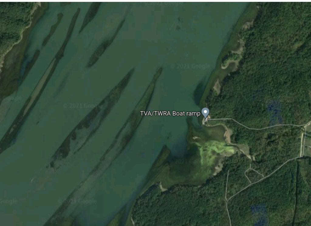
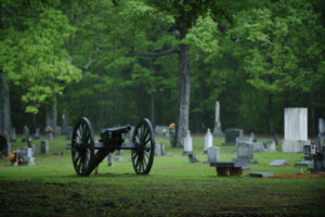
As part of the battle of New Johnsonville in early November, 1864, the Federal gunboats, USS Key West and USS Tarwah, attacked the captured gunboat, Undine, and the transports, Cheesemen and Venus, at Davidson's Ferry on the Tennessee River. Both the Undine and Venus had been previously captured by the Confederate cavalry of Maj. Gen. Venus, from Maj. Gen. Nathan B. Forrest. Forrest had been sailing up the Tennessee River towards Johnsonville but was forced to retire to the safety of the Confederate batteries near Fort Henry.
HISTORICAL THEMES
Controlling Resources
Transformation in Warfare
Enslaved People
PRESERVATION OPPORTUNITY INDEX
LOW
A rating assigned for each battlefield to indicate relative opportunity and potential for successful site preservation.
Historical Themes: Topics and subject matter that characterize the battlefield including Control of Tennessee’s Resources, Crucible for Leadership, Guerilla Warfare, Transformation in Warfare, Enslaved People, and Influence on Campaign. Sites are identified that exhibit themes at moderate to high levels, and some sites may contain one or more Historical Themes.
Preservation Opportunity Index (POI): A rating assigned for each battlefield to indicate relative opportunity and potential for successful site preservation. The Index is generated by a model that evaluates ratings assigned for site significance, condition, risk of loss, protection potential, and opportunities for interpretation. Based upon the POI values for each region in Tennessee (West, Middle, East), sites are indicated as having High, Medium, or Low opportunity.
Geo-coordinates: General/central location of the battlefield area per latitude and longitude coordinates utilized in Google Earth