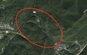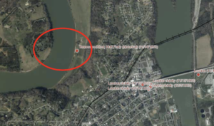
BATTLEFIELD ASSESSMENT

Fort Sanders

November 28, 1863

Knox

As part of Confederate Lieut. Gen. James Longstreet’s strategy to capture Knoxville and drive the Union IX and XXIII Corps (Maj. Gen. Ambrose Burnside) from East Tennessee, his First Corps (Army of Northern Virginia) assaulted Fort Loudon (later named Fort Sanders) on November 28-29, 1863. The attack on the morning of November 29 was led by the Divisions of Maj. Gen. Lafayette McClaws and Brig. Gen. Micah Jenkins. The federal garrison commanded by Brig. Gen. William Sanders (who was killed in the engagement) successfully repulsed the attacks due in large measure to effective defensive engineering installed by Captain Orlando Poe. Facing additional Union reinforcements from the South, Longstreet withdrew into winter quarters in the upper East Tennessee valley.

HISTORICAL THEMES

This engagement is one of 38 sites evaluated by the Civil War Sites Advisory Commission and not subject to a TCWPA Battlefield Assessment

PRESERVATION OPPORTUNITY INDEX

N/A

A rating assigned for each battlefield to indicate relative opportunity and potential for successful site preservation.

Help Preserve this Battlefield

Your support helps protect and share Tennessee’s historic battlefields for generations to come.

SITE DETAILS

County

Knox

Date

November 28, 1863

Preservation Opportunity

N/A

Confederate Units

I Corps-Army of Northern Virginia (Lieut. Gen. James Longstreet)

Union Units

Department of the Ohio (Maj. Gen. Ambrose Burnside)

Help Preserve Tennessee's Civil War Heritage

Your support helps TCWPA preserve, interpret, and share the places where history happened for generations to come.

Other Ways to Support the mission

Terms Legend

Historical Themes:  Topics and subject matter that characterize the battlefield including Control of Tennessee’s Resources, Crucible for Leadership, Guerilla Warfare, Transformation in Warfare, Enslaved People, and Influence on Campaign.  Sites are identified that exhibit themes at moderate to high levels, and some sites may contain one or more Historical Themes.
 
Preservation Opportunity Index (POI):  A rating assigned for each battlefield to indicate relative opportunity and potential for successful site preservation.  The Index is generated by a model that evaluates ratings assigned for site significance, condition, risk of loss, protection potential, and opportunities for interpretation.  Based upon the POI values for each region in Tennessee (West, Middle, East), sites are indicated as having High, Medium, or Low opportunity.
 
Geo-coordinates: General/central location of the battlefield area per latitude and longitude coordinates utilized in Google Earth