BATTLEFIELD ASSESSMENT

Watauga River

April 26, 1864

Carter

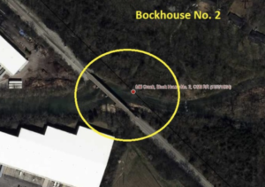
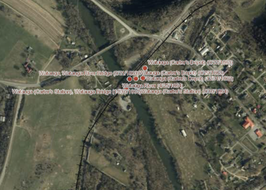
On April 26, 1864 a Confederate force partially destroyed a bridge on the Watauga River.  Union troops commanded by Brig. Gen. J.D. Cox skirmished with the Confederates and also attempted to destroy the bridge.  Union losses were 3 killed and 18 wounded.

HISTORICAL THEMES

Guerilla Warfare

PRESERVATION OPPORTUNITY INDEX

Low

A rating assigned for each battlefield to indicate relative opportunity and potential for successful site preservation.

Help Preserve this Battlefield

Your support helps protect and share Tennessee’s historic battlefields for generations to come.

BATTLEFIELD IMAGE

SITE DETAILS

County

Carter

Date

April 26, 1864

Preservation Opportunity

Low

Confederate Units

N/A

Union Units

104th Ohio

Watauga River

Account of Engagement

April 26, 1864 – Skirmish across the Watauga River, above Greeneville and partial destruction of bridge by Confederates and Federals

BULL’S GAP, April 27, 1864.

Gen. SCHOFIELD:

Gen. Manson was 8 miles above Greeneville last night; says he will reach Lick Creek to-night. The enemy were strongly posted at Watauga, but partially destroyed the bridge themselves. River too high to ford. Our troops skirmished across the river but could not accomplish the entire destruction of the bridge.

We lost 3 killed and 18 wounded. Manson has destroyed all bridges from Jonesborough to where he is, and fully one-third of the track, as he reports.

I send remainder of the Tennessee regiment and part of the One hundred and fourth Ohio by this train, and remainder of the last by next train if the cavalry get here to make some guard for to-night. The One hundredth Ohio is marching.

J. D. COX, Brig.-Gen.

OR, Ser. I, Vol. 32, pt. III, p. 512.

Help Preserve Tennessee's Civil War Heritage

Your support helps TCWPA preserve, interpret, and share the places where history happened for generations to come.

Other Ways to Support the mission

Terms Legend

Historical Themes:  Topics and subject matter that characterize the battlefield including Control of Tennessee’s Resources, Crucible for Leadership, Guerilla Warfare, Transformation in Warfare, Enslaved People, and Influence on Campaign.  Sites are identified that exhibit themes at moderate to high levels, and some sites may contain one or more Historical Themes.
 
Preservation Opportunity Index (POI):  A rating assigned for each battlefield to indicate relative opportunity and potential for successful site preservation.  The Index is generated by a model that evaluates ratings assigned for site significance, condition, risk of loss, protection potential, and opportunities for interpretation.  Based upon the POI values for each region in Tennessee (West, Middle, East), sites are indicated as having High, Medium, or Low opportunity.
 
Geo-coordinates: General/central location of the battlefield area per latitude and longitude coordinates utilized in Google Earth