January 27, 1864
Sevier
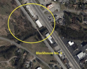
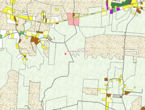
On January 25, 1864, Confederate Gen. James Longstreet ordered Gen. William T. Martin to eject Union cavalry from an area south of the French Broad River stretching from Dandridge to the Little Pigeon River. The next day, Union Gen. Samuel D. Sturgis directed his cavalrymen to watch area fords. Two Confederate cavalry brigades and artillery advanced from Fair Garden in the afternoon, only to be stopped about four miles from Sevierville. Other Confederate forces attacked Union troopers at Fowler’s on Flat Creek, driving them back about two miles before fighting ended the day. The morning of January 27, Col. Archibald Campbell (First Cavalry Division) attacked Martin’s Crossroads. Following a charge that scattered the Confederates, Campbell bivouacked for the night. Sturgis pursued the Confederates on January 28 to the French Broad River near Dandridge before three of Longstreet’s infantry brigades offered serious resistance. Sturgis retreated after launching an unsuccessful attack against Confederate Gen. Frank C. Armstrong’s isolated cavalry division. Withdrawing, Sturgis lost the foraging grounds. The Federal casualties were 65, and the Confederates lost about 100 men.
A rating assigned for each battlefield to indicate relative opportunity and potential for successful site preservation.
Your support helps protect and share Tennessee’s historic battlefields for generations to come.
County
Date
Preservation Opportunity
Confederate Units
Union Units
Your support helps TCWPA preserve, interpret, and share the places where history happened for generations to come.