
BATTLEFIELD ASSESSMENT

Cleveland

April 2, 1864

Bradley

On April 2, 1864 a Union reconnaissance in force dispatched from Cleveland, Tennessee led by Col. Lagrange (1st Wisconsin Cavalry) forced the Confederate division of Confederate cavalry under Brig. Gen. William Martin to retire after demonstrating near Cleveland and Charleston.

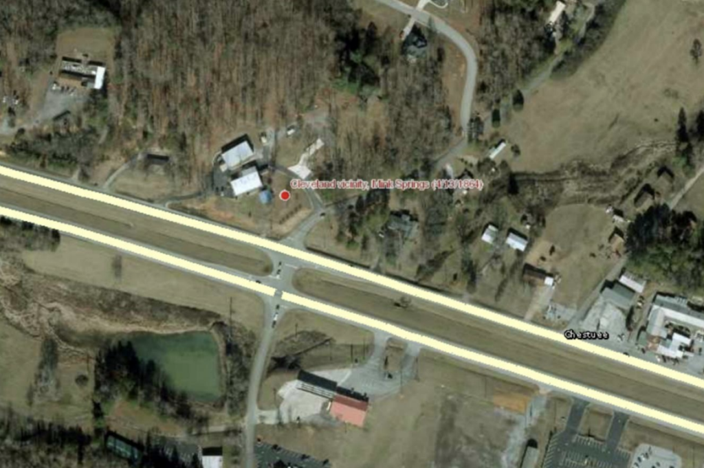
Also see Mink Springs (April 13, 1864)

HISTORICAL THEMES

Guerilla Warfare

PRESERVATION OPPORTUNITY INDEX

LOW

A rating assigned for each battlefield to indicate relative opportunity and potential for successful site preservation.

Help Preserve this Battlefield

Your support helps protect and share Tennessee’s historic battlefields for generations to come.

BATTLEFIELD IMAGE

SITE DETAILS

County

Bradley

Date

April 2, 1864

Preservation Opportunity

LOW

Confederate Units

Brig. Gen. William Martin’s Cavalry Division

Union Units

1st Wisconsin Cavalry

Cleveland

Account of Engagement

April 2, 1864 – Confederate cavalry reconnaissance and demonstration near Ducktown, Spring Place, Charleston and Cleveland

HDQRS. DEPARTMENT OF THE CUMBERLAND, Office Chief Com. Sub., Chattanooga, Tenn., April 12, 1864.

HDQRS. DEPARTMENT OF THE CUMBERLAND, Chattanooga, Tenn., May 2, 1864.

COL.: I have the honor to report the operations of my command for the month of April as follows, viz.,:

On the 2d instant a force of rebels, said to be 1,500 strong, made a demonstration in the direction of Cleveland and Charleston, E. Tenn., approaching to within 8 miles of Cleveland, when they divided into parties; one going out in the direction of Ducktown, through the mountains, the other remaining and falling back toward Dalton on the appearance of a force of our cavalry sent out from Cleveland in command of Col. LaGrange, of the First Wisconsin.

A scout, who arrived at Cleveland on the 3d, reported that the above movement on the part of the enemy was for the purpose of covering the approach of a force from Longstreet’s army which was on its way to re-enforce Johnston by way of Murphy, N. C. This was afterward ascertained to be Martin’s division of cavalry.

I am, very respectfully, your obedient servant,

GEO. H. THOMAS, Maj.-Gen., U. S. Volunteers, Cmdg.

OR, Ser. I, Vol. 32, pt. I, p. 18.

LOUDON, April 2, 1864.

Maj.-Gen. SCHOFIELD:

Gen. Stanley reports that a large force rebel cavalry was seen 8 miles east of Cleveland this morning at sunrise moving in the direction of Charleston. The commanding officer at that post is on the alert.

G. GRANGER, Maj.-Gen.

OR, Ser. I, Vol. 32, pt. III, p. 226.

CHATTANOOGA, April 3, 1864—9 p. m.

Maj.-Gen. SHERMAN, Nashville:

Your dispatch of yesterday received. Will watch Johnston as close as possible, but shall only feel perfectly safe when I can get my troops back from East Tennessee.

My outposts report no movements of the enemy, except a reconnaissance on the Spring Place and Cleveland road yesterday, which resulted in nothing.

Help Preserve Tennessee's Civil War Heritage

Your support helps TCWPA preserve, interpret, and share the places where history happened for generations to come.

Other Ways to Support the mission

Terms Legend

Historical Themes:  Topics and subject matter that characterize the battlefield including Control of Tennessee’s Resources, Crucible for Leadership, Guerilla Warfare, Transformation in Warfare, Enslaved People, and Influence on Campaign.  Sites are identified that exhibit themes at moderate to high levels, and some sites may contain one or more Historical Themes.
 
Preservation Opportunity Index (POI):  A rating assigned for each battlefield to indicate relative opportunity and potential for successful site preservation.  The Index is generated by a model that evaluates ratings assigned for site significance, condition, risk of loss, protection potential, and opportunities for interpretation.  Based upon the POI values for each region in Tennessee (West, Middle, East), sites are indicated as having High, Medium, or Low opportunity.
 
Geo-coordinates: General/central location of the battlefield area per latitude and longitude coordinates utilized in Google Earth